


COLDWATER CENTRAL Voting District, Mercer County, Ohio
About
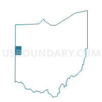
Outline

Summary
| Unique Area Identifier | 649993 |
| Name | COLDWATER CENTRAL Voting District |
| County | Mercer County |
| State | Ohio |
| Area (square miles) | 0.62 |
| Land Area (square miles) | 0.61 |
| Water Area (square miles) | 0.00 |
| % of Land Area | 99.69 |
| % of Water Area | 0.31 |
| Latitude of the Internal Point | 40.47903940 |
| Longtitude of the Internal Point | -84.63407370 |
Maps


Graphs
Select a template below for downloading or customizing gragh for COLDWATER CENTRAL Voting District, Mercer County, Ohio


Neighbors
Neighoring Voting District (by Name) Neighboring Voting District on the Map
- BUTLER EAST Voting District, Mercer County, OH
- BUTLER WEST Voting District, Mercer County, OH
- COLDWATER NORTHEAST Voting District, Mercer County, OH
- COLDWATER SOUTHEAST Voting District, Mercer County, OH
- COLDWATER WEST Voting District, Mercer County, OH